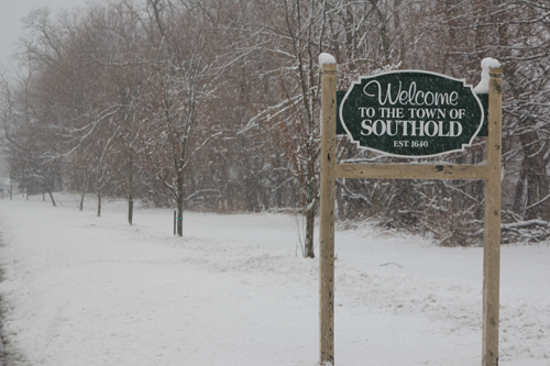
JENNIFER GUSTAVSON FILE PHOTO | A snowy Southold Town sign on Main Road in Mattituck.
UPDATE: The National Weather Service increased its snowfall forecast for Tuesday into Wednesday, upping the possible total to 10 to 14 inches.
Eight to 10 inches had been expected previously. Though meteorologist Ashley Sears said that precipitation that had previously been expected to hit offshore looks to be hitting eastern Suffolk County.
The winter storm warning begins at noon on Tuesday and is expected to last until 6 a.m. on Wednesday.
ORIGINAL: The North Fork could be in line for its second snowfall of 2014, as the National Weather Service is predicting anywhere from six to eight inches of snow Tuesday afternoon into Wednesday morning.
The NWS has issued a winter storm watch from Tuesday afternoon through late Tuesday night for Long Island, Westchester County, northern New Jersey and part of southern Connecticut.
Meteorologist Joe Pollina said on Monday morning that snowfall should get “steadier and heavier tomorrow afternoon,” ending sometime late Tuesday night for most of Long Island.
But snowfall could last into Wednesday for those on the East End.
“The twin forks could see lingering showers and flurries into early Wednesday morning,” he said.